Image
Definition and indicators for the characterization of the Agricultural Areas
Published on 02 January 2021

Spain
Cataluña
This is the good practice's implementation level. It can be national, regional or local.
About this good practice
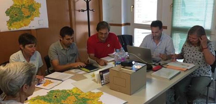
The project, promoted by the Rural World Foundation in collaboration with the Agri-territory Foundation, is a part of the desire to establish a consensus on the concept of ‘agricultural space’ in the first phase, to later work on the characterization of these spaces based on objective indicators that allow their assessment.
The designed indicators allow to analyze several important variables when evaluating and determining the value of agricultural areas, such as agricultural productivity, degree of biodiversity, value of the landscape, the productive model or its vulnerable areas among others. There are 20 indicators, which are grouped into 5 composite indicators categories and finally into 3 groups.
The Protocol for the methodological analysis of the characterization of agricultural areas of Catalonia in GIS was completed in March 2018 and became a basic work to study and analyze agricultural areas through cartographic means. Different working proposals have been presented to assess the agrarian spaces in an analysis of the Catalan territory on a scale of 1: 500,000.
In a pioneering way, the characterization of agricultural spaces facilitates identifying objectifiable indicators that determine the basic characteristics for its assessment during urban planning.
The Protocol for the methodological analysis in GIS is a pioneer in Catalonia, which has become a basic work to study and analyse agricultural areas through cartographic means.
Expert opinion
Measuring the impacts of agriculture on nature and biodiversity as well as its contribution to the maintenance of ecosystem services and landscape features can certainly help policymakers at all levels to take better informed decisions with regard to the model of agriculture that should prevail in Europe on its way to carbon neutrality by 2050. The Farm to Fork Strategy, the 2030 Biodiversity Strategy and the new Action Plan on Organic Farming adopted by the European Commission in the framework of the European Green Deal have set clear 2030 targets for the agricultural sector, such as halving the use of chemical pesticides, bringing back at least 10% of agricultural area under high-diversity landscape features and putting at least 25% of the EU’s agricultural land under organic farming. For these targets to be met, developing tools for the characterization of agricultural areas is an essential precondition. Local and regional policymakers may be inspired by the stakeholder involvement and the use of GIS technologies outlined in this good practice.
Resources needed
The cost of the project implied 25.000 €. The Characterization was based on stakeholders’ meetings, implying almost 0 cost.
Evidence of success
In 2015, created the Working Group of Agricultural Spaces, which prepared the Report on Agrarian Spaces: definition and indicators for their characterization.
Subsequently, the Working Group on Agricultural Areas (GTEA) developed the Protocol for the methodological analysis of characterization of agricultural areas of Catalonia in Geographical Information Systems.
These indicators were considered when developing the Catalan Agrarian Areas Law.
Subsequently, the Working Group on Agricultural Areas (GTEA) developed the Protocol for the methodological analysis of characterization of agricultural areas of Catalonia in Geographical Information Systems.
These indicators were considered when developing the Catalan Agrarian Areas Law.
Potential for learning or transfer
Agricultural areas are shared on the entire European territory and their valorisation is a common issue all over Europe.
The characterization is based mainly in local perceptions but external advisory and bibliography were considered in the public reports. In any case, the designed methodology is easily transferable and can be adjusted to conditions of a local characterization.
The characterization is based mainly in local perceptions but external advisory and bibliography were considered in the public reports. In any case, the designed methodology is easily transferable and can be adjusted to conditions of a local characterization.
Further information
Website
Good practice owner
You can contact the good practice owner below for more detailed information.
Organisation
Directorate General of Rural Development, Catalan Department of Agriculture, Cattle, Fisheries and Food
Spain
Cataluña
Contact
Researcher