Down to Earth presented at EUMETSAT Workshop

On November 25th and 26th 2024, our regional partner the National Meteorological Administration of Romania was invited to the 2024 SALGEE and LSA SAF User Workshop 'Monitoring Drought Impacts on Vegetation & Feedback', organized by EUMETSAT, in Darmstadt, Germany. Mr. Daniel Alexandru, representative of Meteo Romania, was a speaker at the event.
The workshop, attended by representatives of institutions, organisations and research centres with an interest in drought, water loss, drought monitoring and drought effects, featured discussions that focused on the application of EUMETSAT land-surface data in the field of vegetation and drought monitoring.
SALGEE, the Satellite Applications in Land surface analyses Group for Eastern Europe, was initiated as a project by the National Institute of Meteorology and Hydrology of Bulgaria in 2009. SALGEE activities run as a EUMETSAT Project for gathering experts in the field of satellite meteorology, to complement the activities of the Land Surface Satellite Application Facility (LSA SAF), with focus on the use of techniques and training in South-eastern and Eastern Europe, plus other regions of interest to take advantage of other environmental data. SALGEE coordinates with the LSA SAF consortium and was first announced during the CGMS-38, in 2010. The LSA SAF is part of the distributed EUMETSAT Applications. It focuses on the development and processing of satellite products that characterise the continental surfaces, such as radiation products, vegetation, evapotranspiration and wildfires.
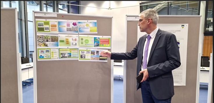
During the workshop, users of EUMETSAT land-surface data working in either research or operational services were able to present their studies and/or operational applications. In that context, Mr. Daniel Alexandru, Meteo Romania representative, presented the Down to Earth project and consortium.


At the end of the workshop, there were opportunities to identify co-development projects to support interested users in jointly developing operational applications using EUMETSAT data, bridging the gap between research and operations. For that purpose, The European Weather Cloud (EWC) was identified as a collaborating space.
