Wallonia’s Regional facts

The Wallonia region with its 3.6 million of inhabitants represents around the 32 % of the Belgian population, with an area of 16,901 km², which is almost the 55 % of Belgium’s surface area.
Though Wallonia is a low-lying region with no major mountain ranges, its relief is far from being uniform, in fact, the altitude varies from 20 m in the west, in the Scheldt plain, to 694 m in the east, at the Signal de Botrange.
These variations in altitude have a great ecological importance, due to the position of Wallonia, its proximity of the North Sea and the combined impact of various geomorphological, soil and climatic factors.
Agricultural land is decreasing, while artificialized land is increasing, and it covers between 11 % and 16 % of the territory.
In 2020 most of the territory was composed of agricultural land (52 %) and forested land (29 %). Most woodlands are found in the south and east of Wallonia.
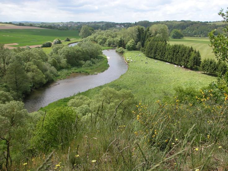
Wallonia's river network is of a high density, around 27 km of waterways per 1,000 km², a density that is three times higher than the European average.
Wallonia has 12 Nature Parks which are in rural areas.
They reveal remarkable landscapes where nature is in a rather good state of conservation. Biodiversity is still present, even if many species of flora and fauna are fragile or threatened by human activities, and so need to be protected.
The territory is very rich in resources that play a very important and vital role for the region, here is a list: minerals and mining (coal reserves, iron, and steel production) forests and timber, agricultural lands, water resources, renewable energy (wind power, solar power) and so on.
Photo: Lionel Wibail
